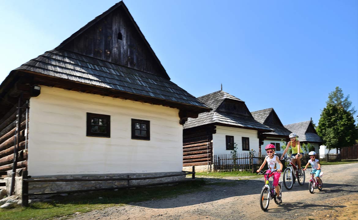
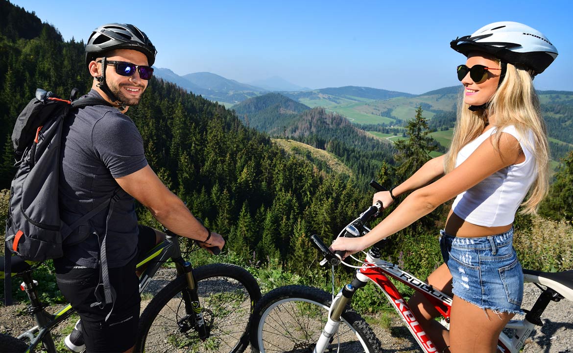
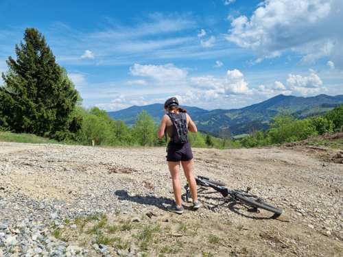
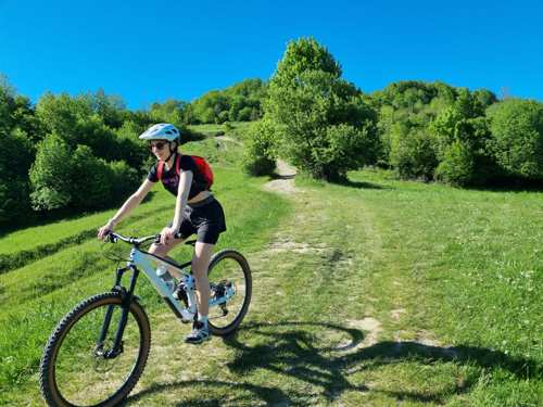
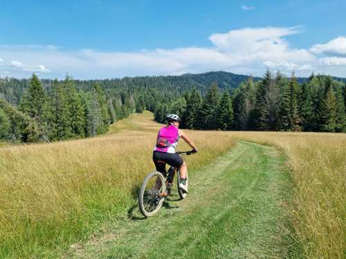
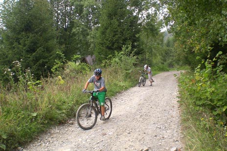
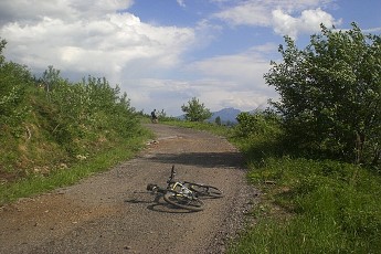
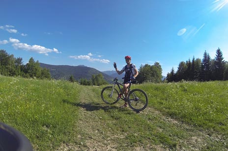
We invite you to spend a cycling holiday in Malá Fatra, where under the motto "Jánošík’s Land – Cyclist’s Paradise", more than 600 km of marked cycling trails have been created in recent years.
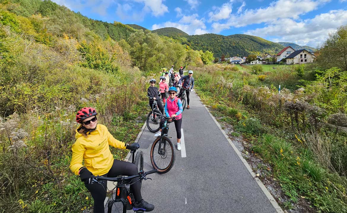
The marked cycling routes are suitable for mountain, trekking, and road bikes. We participated in the development of the cycling route project, so we can advise and recommend cycling routes according to your abilities and preferences.
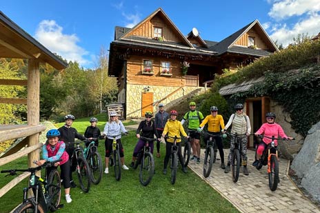
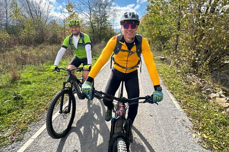
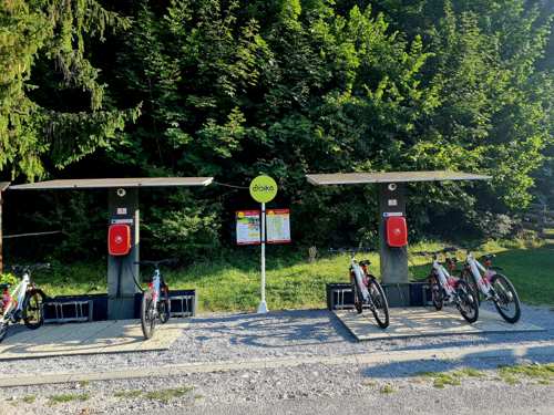
New A teambuilding event where you can test out high-quality mountain e-bikes, and professional instructors Peter and Tomáš will introduce you to the most beautiful cycling trails in Malá Fatra.
Show more
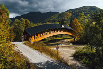
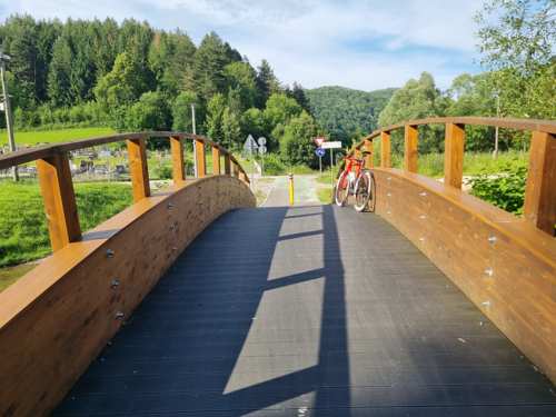
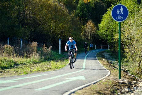
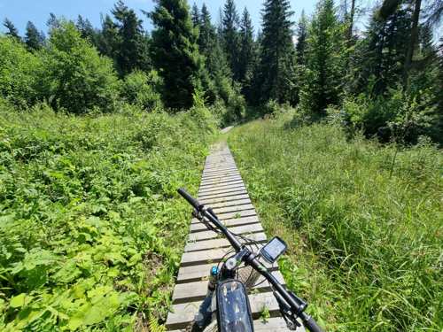
Easy cycling route. A new cycle path connecting Žilina with Terchová was completed in 2022. A highlight of this cycling magistrale is as many as 17 beautiful wooden bridges.
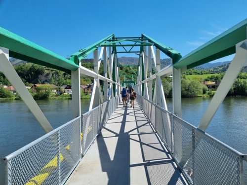
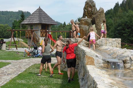
Easy cycling route. A simple route also suitable for families with children. Most of the route is asphalt around the dam, while the section along the Váh River towards Budatín is fortified gravel.
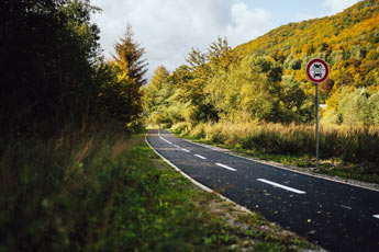
Easy cycling route. Easy cycling routes through the Vrátna valley and Štefanová are manageable even by children. The cycle paths are marked along roads. The green route will take you right to Vrátna under the cable car and to the Vrátna chalet.
Easy cycling route. The Kysuce cycle magistrale crosses from west to east and connects villages in the Kysuce area through Oravská Lesná and Novoť up to the Polish border.
Easy cycling route. An easy introductory route. Good for warming up and getting to know the surroundings and terrain in Terchová. After completing this route, it'll be easier to plan future trips and to better estimate your own limits and riding time.
Medium difficulty cycling route. I recommend this as an introductory route to try the Terchová hills and test your fitness, or try out how you handle descents.
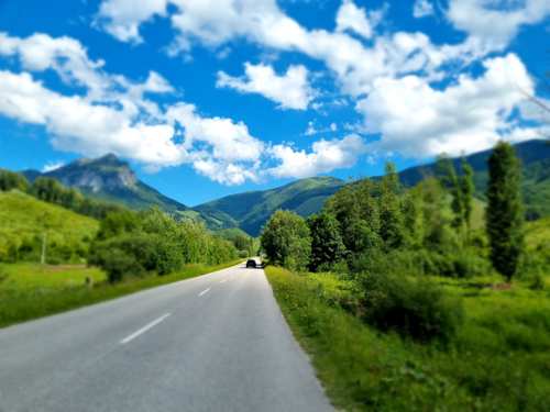
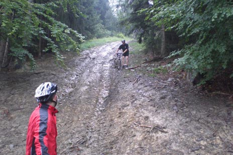
Medium difficulty cycling route. Cycling route along the foothills of Malá Fatra towards Žilina. This cycle route can be taken even in wet conditions, after rain.
Medium difficulty cycling route. A warm-up cycling route in our area where you can test your skills and estimate your time for off-road riding.
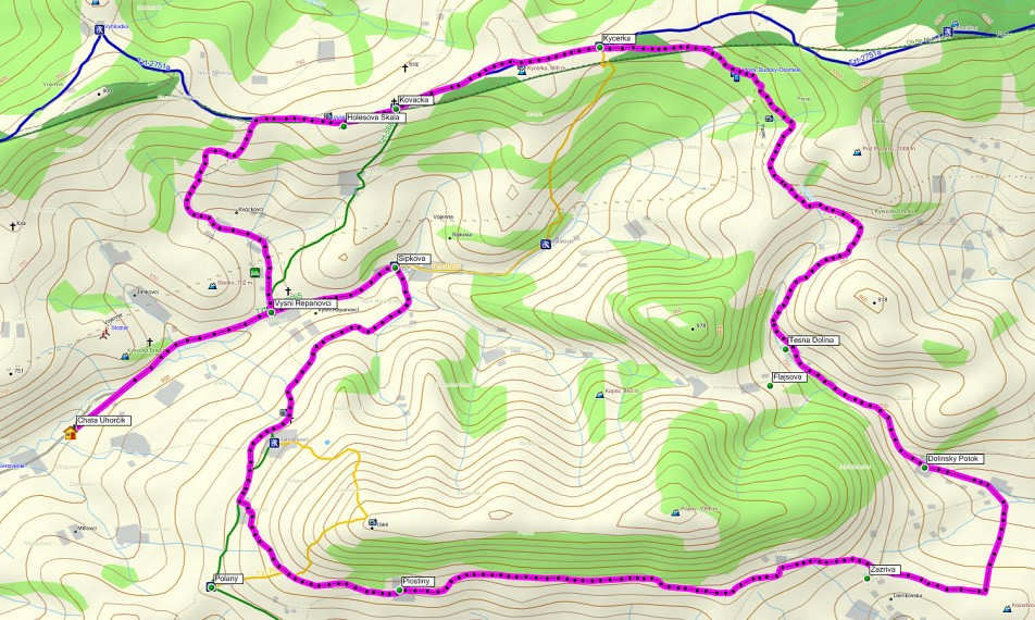
Medium difficulty cycling route. Through Šípková and the settlements of Janošovci and Smrekovci, you will get below Púpov. Along the contour line beside the gas pipeline, the marked cycling route continues up to Zázrivá, Dolina part.
Medium difficulty cycling route. A slightly more demanding route through the valleys of Terchová and Vadičov. I recommend going via Kačerovci saddle towards Lutiška saddle and further to Horný Vadičov.
Medium difficulty cycling route. A very good training cycle route, suitable even after rain. Recommended starting point in Nová Bystrica at the parking lot.
Medium difficulty cycling route. Beautiful route with views of the Kysuce Protected Landscape Area and the Nová Bystrica water reservoir.
Medium difficulty cycling route. It starts with a climb up to "Kačerov".
Medium difficulty cycling route. The first peak in the climb from Struháreň is above Holešová Skala at 846 m above sea level, the last section of this climb, about 400 m, needs to be walked.
Medium difficulty cycling route. From Struháreň you climb to the Marunovia settlement. At Marunovia, turn left from the green hiking marker and continue along the forest road to the ridge all the way to the cross at Kováčka at 833 m.a.s.l.

Medium difficulty cycling route. 2 short medium-difficulty cycling routes for warming up and getting to know the area. These routes are short, but pleasant. On Mravečník, you will climb up to 998 m.a.s.l., so you will sweat a little and enjoy a nice descent down.
Medium difficulty cycling route. The cycling route with the highest ascent point (1075 m.a.s.l.). If you start from the square in Varín (369 m.a.s.l.) and reach the chalet past Suchý, you will overcome a climb of more than 756 vertical meters over 10.50 km!
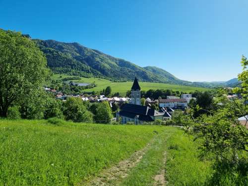
Moderately difficult cycling route. A very beautiful and fast cycling route around the Nová Bystrica Water Reservoir, with the possibility to see the church that remained from the flooded village of Riečnica.

Moderately difficult cycling route. The route starts from Šípková through the settlements of Janošovia and Smrekovci, below Púpov. Following the contour line beside the gas pipeline, the marked route continues to Zázrivá, Dolina.
Moderately difficult cycling route. The cycling route starts from Žilina - Budatín, on the old road to the center of Teplička nad Váhom. Total route length: 39 km.
Moderately difficult cycling route. A cycling route through Kysuce to Mravečník (992 m above sea level) with a final technical descent for pros back to Terchová.
Moderately difficult cycling route. This challenging route due to its length and elevation will take you through Terchová into the Kysuce Valley and back.
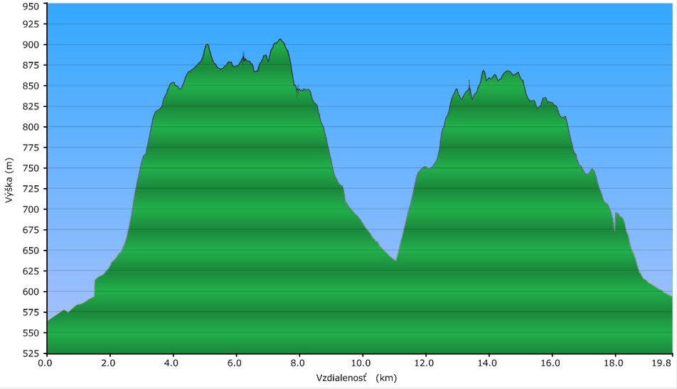
Moderately difficult cycling route. A route for bikers in good condition or on an e-bike. Total elevation gain on this short 20 km route is 740 m!
Difficult cycling route. On this route, you’ll reach the summit four times with gradual climbs. Begin on asphalt – the green route towards Šípková – Janošovci – Smrekovci.
Difficult cycling route. A route for athletes, or to test your fitness during the season. Total route length: 97.3 km, total elevation: 2,301 m.
Difficult cycling route. I recommend this as an introductory route to test Terchová’s hills, your condition, or your ability to handle descents.
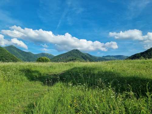
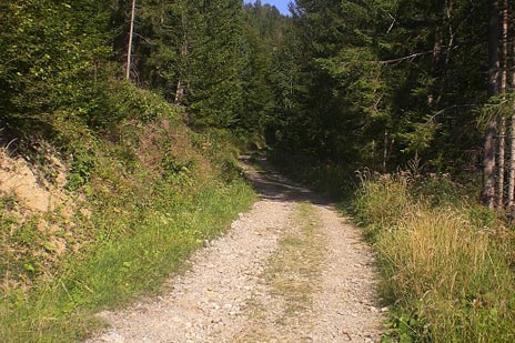
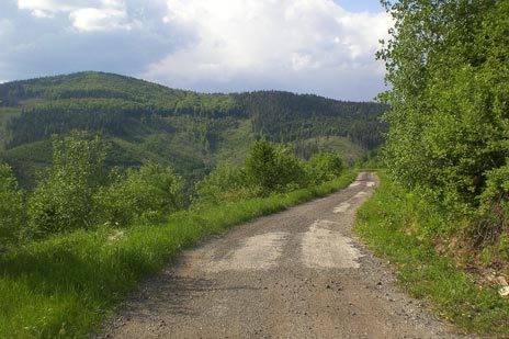
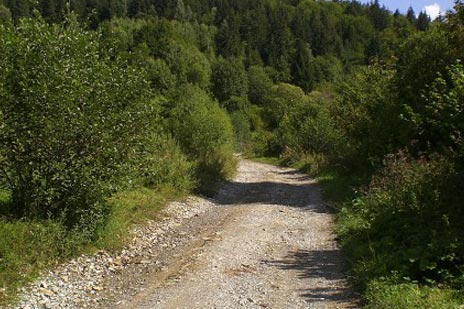
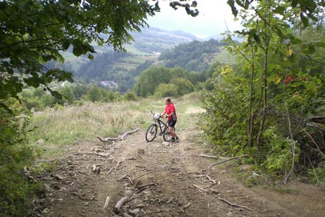
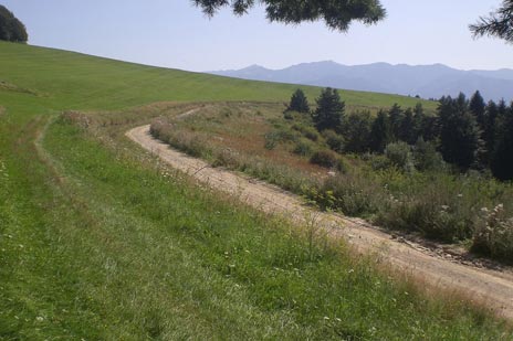
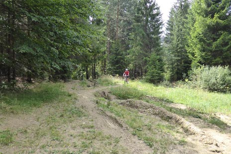
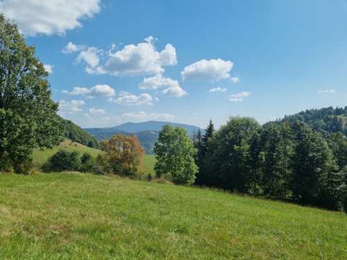
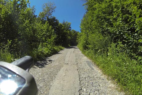
The cycling routes are located in the beautiful surroundings of Malá Fatra, Terchová, Kysucká Highlands and around Žilina. They vary in difficulty and are suitable for mountain and trekking bikes (some sections may not be rideable for trekking bikes after rain). The routes run along solid and unpaved field and forest roads and are marked according to the STN 01 8028 standard.
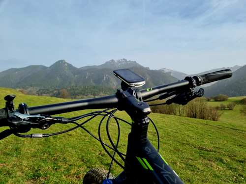
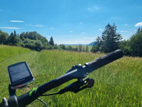
We recommend using the cycling map "Jánošík’s Region – The Cyclist’s Paradise", GPS, or download the mobile cycling navigation "Terchová cyklo". Prepare thoroughly for each route and do not overestimate your skills, even if the route is not long, riding time can double in challenging terrain and bad weather!

For more than 6 years, we have been co-producing the TV show Cyklopotulky. We will recommend you the best cycling routes, or even provide a cycling guide if desired.
Downloadable GPS Routes:
We will send you a link to download the GPS routes via email. By entering your email, you consent to receiving our quarterly newsletter, from which you can unsubscribe at any time.
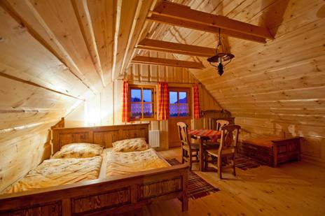
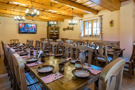
The chalet has a capacity of 17+5 people. There are 6 rooms in the chalet. On the ground floor there is a game room and a common room with a fireplace. On the ground floor and upstairs there is a kitchenette.
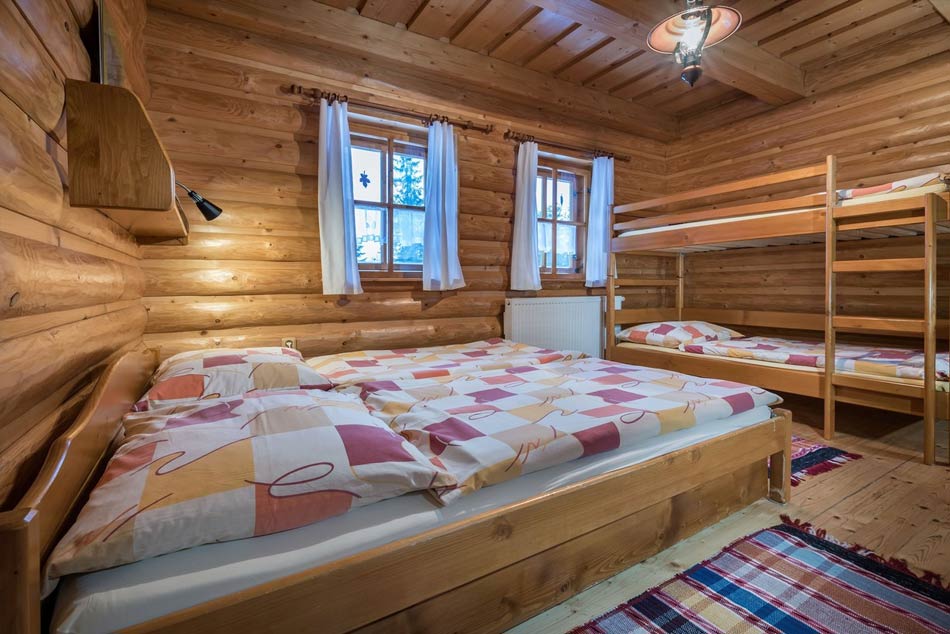
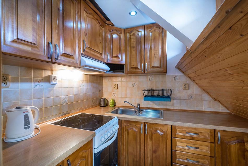
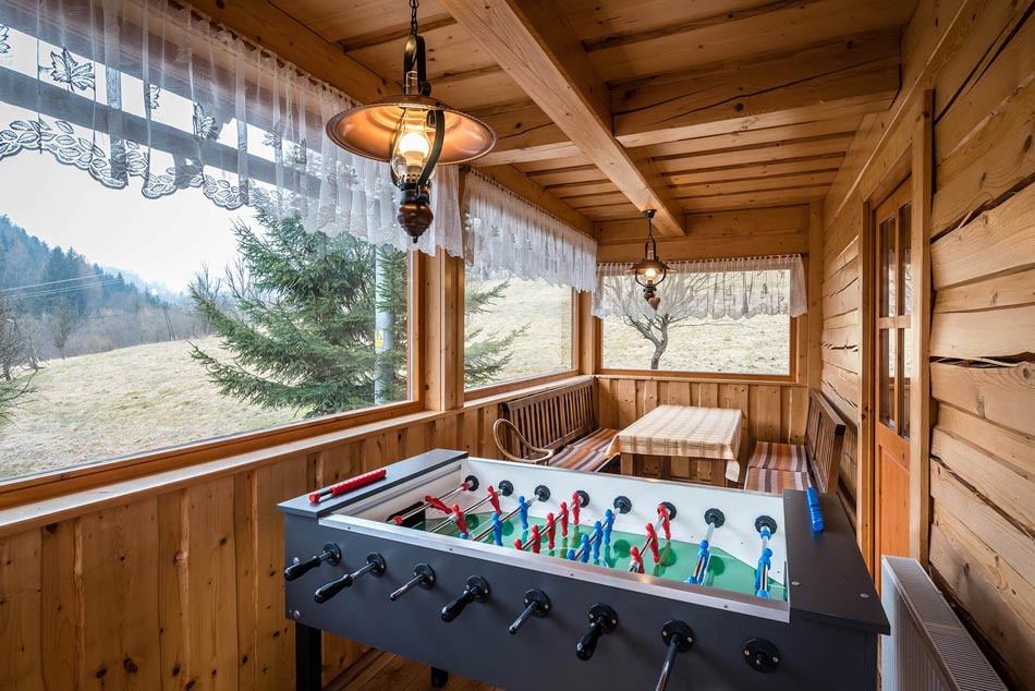
The chalet has a capacity of 15+5 people. There are 5 rooms in the chalet. On the ground floor there is a common room and a winter garden with table football and a beautiful view of the surrounding nature. There is a kitchenette on every floor.
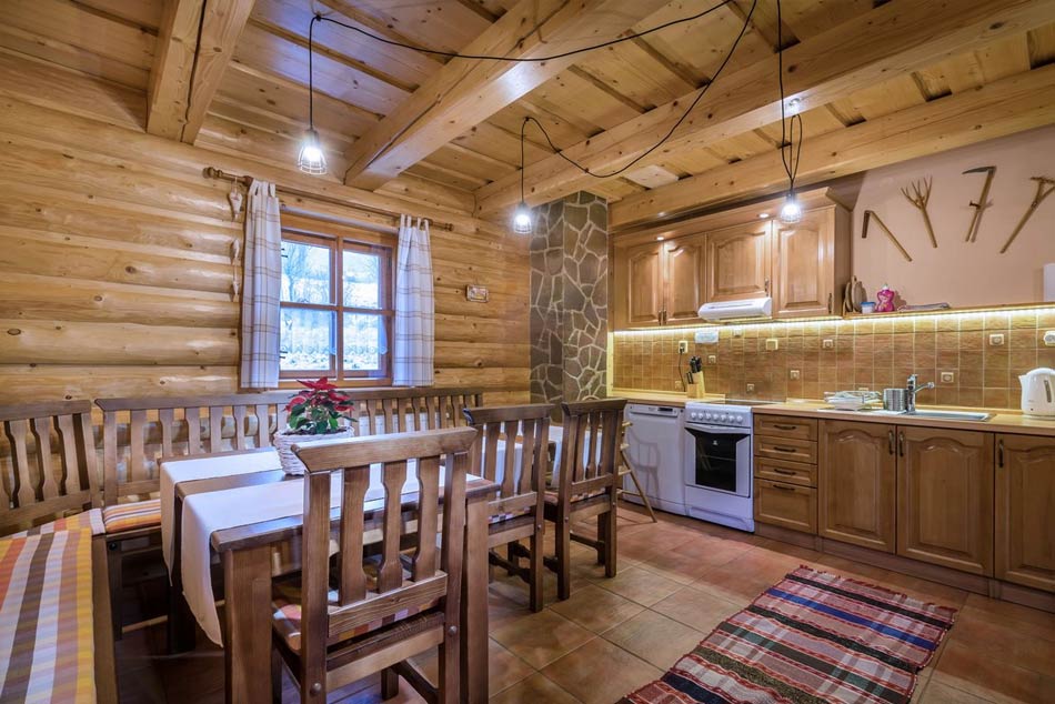
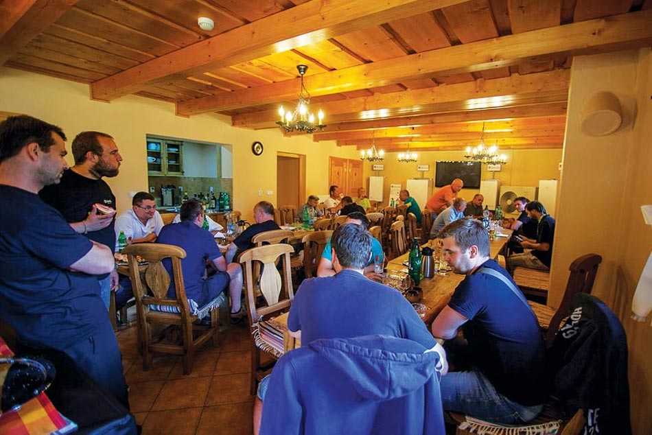
The chalet has a capacity of 17+4 people. There are 6 rooms in the chalet. On the ground floor there is a large common room with a capacity of up to 48 people. There is a fully equipped kitchenette on every floor.

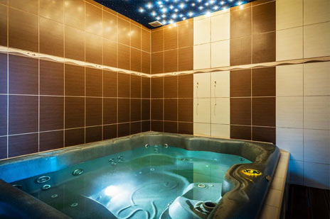
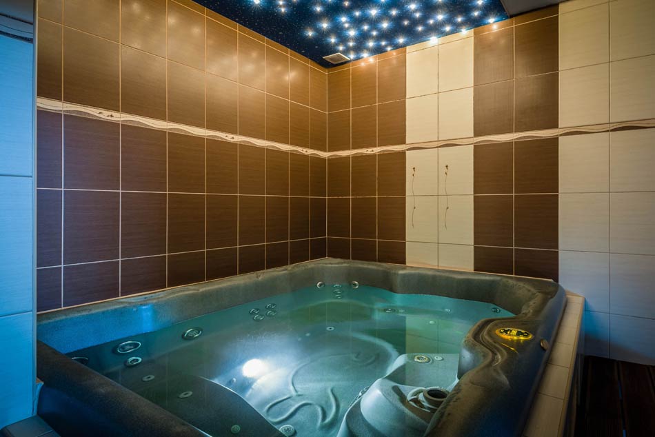
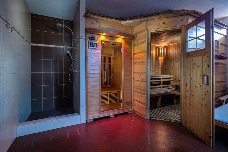
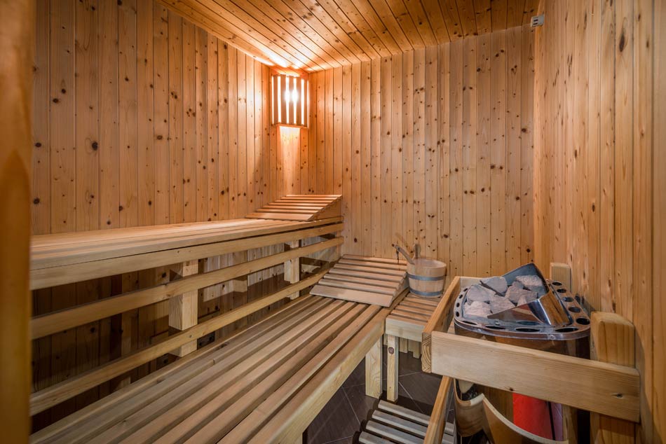
Private wellness center for our guests staying at the Uhorčík, Ilčík and Rajnoha chalets in Terchová. Large massage pool, sauna, and infrared sauna are ready to help you relax and enjoy your stay with us!
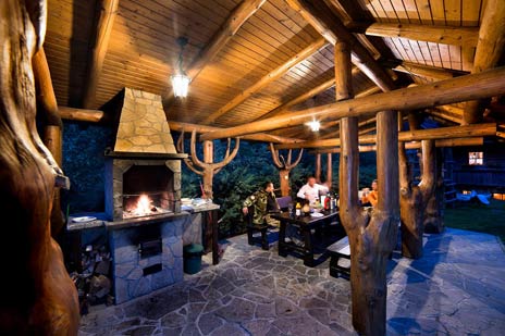
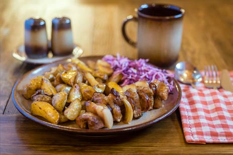
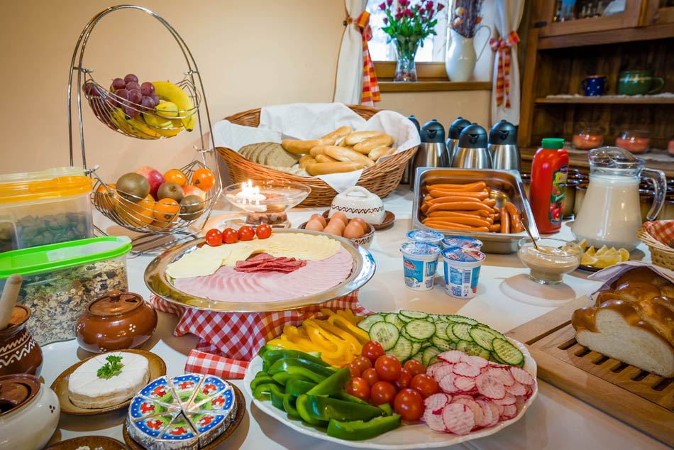
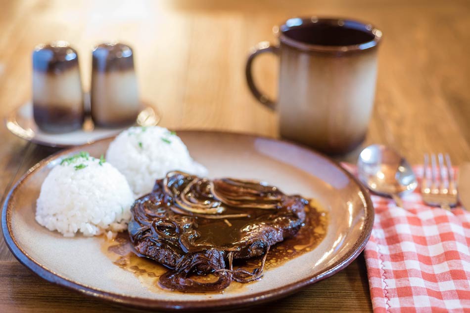
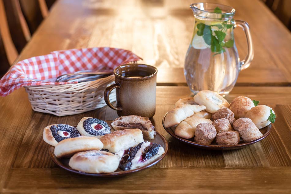
We cook delicious dishes, both traditional and specialties. Breakfast is served as a buffet. Meals can be served as half board or full board.
Contact
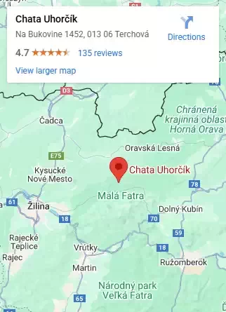
Uhorčík Resort ***
Na Bukovine 1452
013 06 Terchová
Slovakia
Tel: +421 905 861 385
+421 905 462 076
GPS: N49 16.919 E19 03.180
www.chatauhorcik.sk
info@chatauhorcik.sk

Write to us
Do you have a question, or want to know if a date is available?
Inquiry / Booking
Akciový Cenník
Ubytovanie - akcia 7 nocí |
Bežná cena
|
Zľava |
Cena po zľave/
|
| Chata Uhorčík platí pre max. 17 osôb |
2870,00 € | 470,00 € | 2400,00 € |
| Chata Ilčík platí pre max. 15 osôb |
2590,00 € | 420,00 € | 2170,00 € |
| Chata Rajnoha platí pre max. 17 osôb |
2870,00 € | 470,00 € | 2400,00 € |
| Prístelka naviac/noc | 15,00 € | 15,00 € | 15,00 € |
Ubytovanie - akcia 6 nocí |
Bežná cena
|
Zľava |
Cena po zľave/
|
| Chata Uhorčík platí pre max. 17 osôb |
2460,00 € | 260,00 € | 2200,00 € |
| Chata Ilčík platí pre max. 15 osôb |
2220,00 € | 230,00 € | 1990,00 € |
| Chata Rajnoha platí pre max. 17 osôb |
2460,00 € | 260,00 € | 2200,00 € |
| Prístelka naviac/noc | 15,00 € | 15,00 € | 15,00 € |
Na pobyt možno uplatniť rekreačný poukaz.
Cenník
Ubytovanie |
Cena/
|
Cena/
|
| Chata Uhorčík platí pre max. 17 osôb |
1800,00 € | 1440,00 € |
| Chata Ilčík platí pre max. 15 osôb |
1800,00 € | 1440,00 € |
| Chata Rajnoha platí pre max. 17 osôb |
1800,00 € | 1440,00 € |
Na pobyt možno uplatniť rekreačný poukaz.
Akciový cenník
Ubytovanie |
Cena/
|
Cena/
|
| Chata Uhorčík, Rajnoha platí pre max. 17 osôb |
2200,00 € | 2000,00 € |
| Chata Ilčík platí pre max. 15 osôb |
1975,00 € | 1796,00 € |
| Prístelka naviac/noc | 15 € | 15 € |
Skipas * |
6/7 dní |
4/5 dní |
3/4 dní |
| Dospelý | 182,00 € | 127,00 € | 98,00 € |
| Dieťa do 12 r. | 128,00 € | 89,00 € | 69,00 € |
| Dieťa do 6 r. | Zadarmo | Zadarmo | Zadarmo |
Na pobyt možno uplatniť rekreačný poukaz.
* Ceny skipasov sú zo sezóny 2023/2024
Akciový cenník 3 noci
Ubytovanie |
Cena/
|
| Chata Uhorčík, Rajnoha platí pre max. 17 osôb |
1161,00 € |
| Chata Ilčík platí pre max. 15 osôb |
1053,00 € |
| Prístelka naviac/noc | 15 € |
| 2 hodiny wellness | ZADARMO |
Skipas |
1 deň cez Zľavomat |
| Dospelý | 26,90 € |
| Dieťa do 6 r. | Zadarmo |
Na pobyt možno uplatniť rekreačný poukaz.
 English
 Slovensky
 Česky
Česky Polski